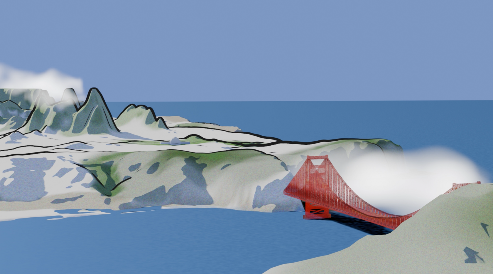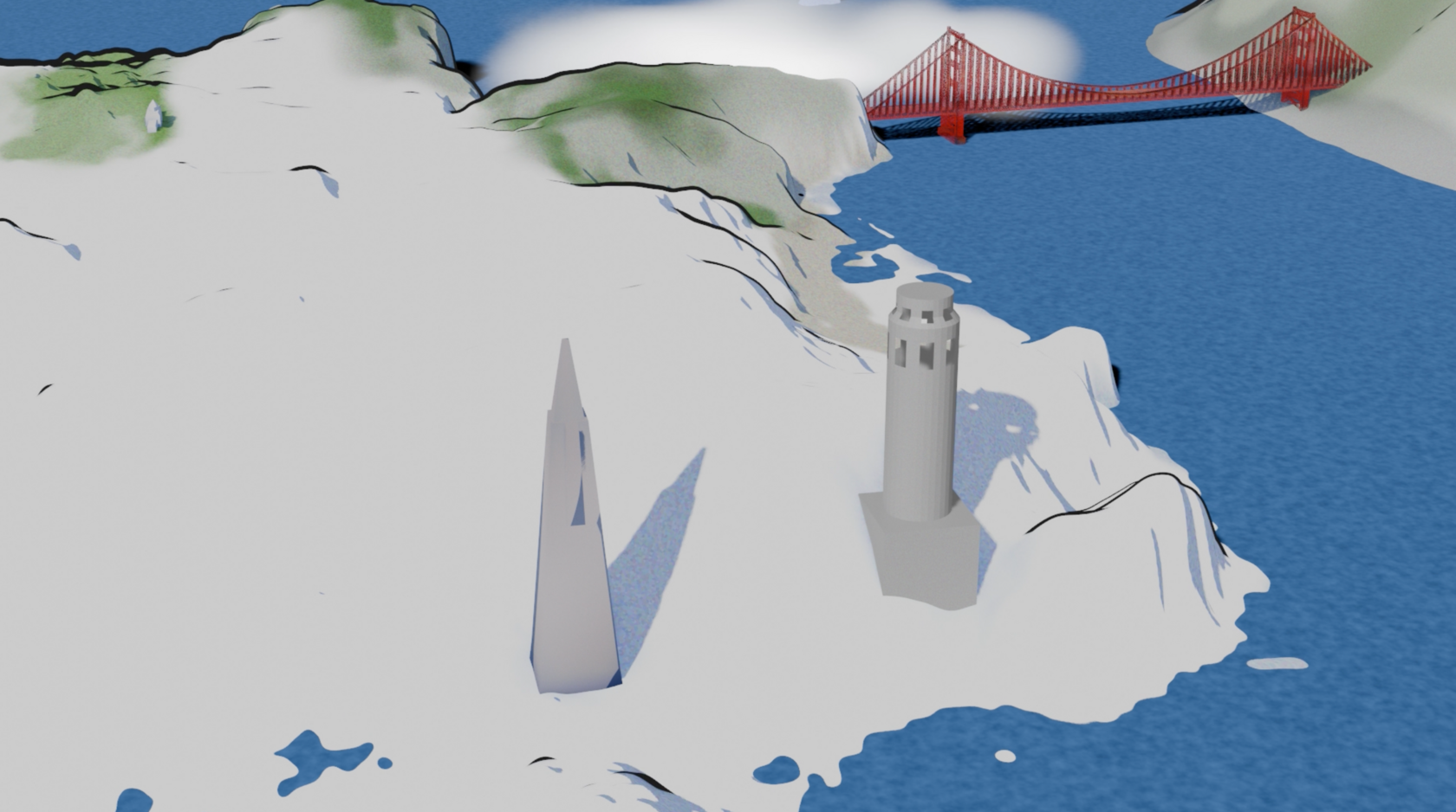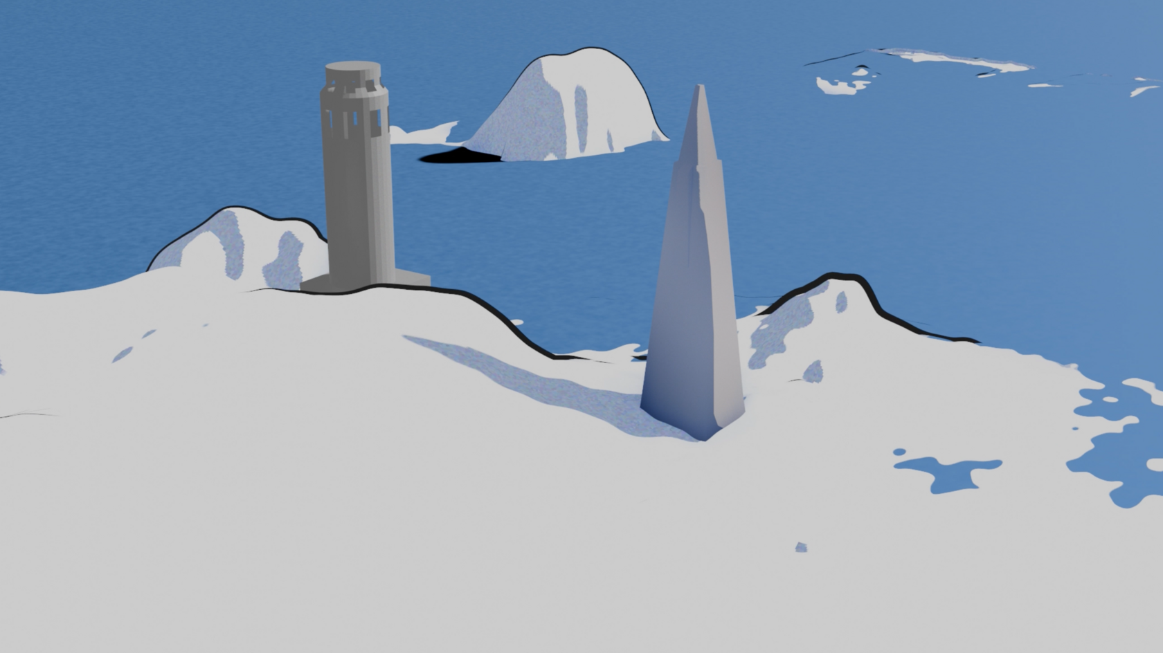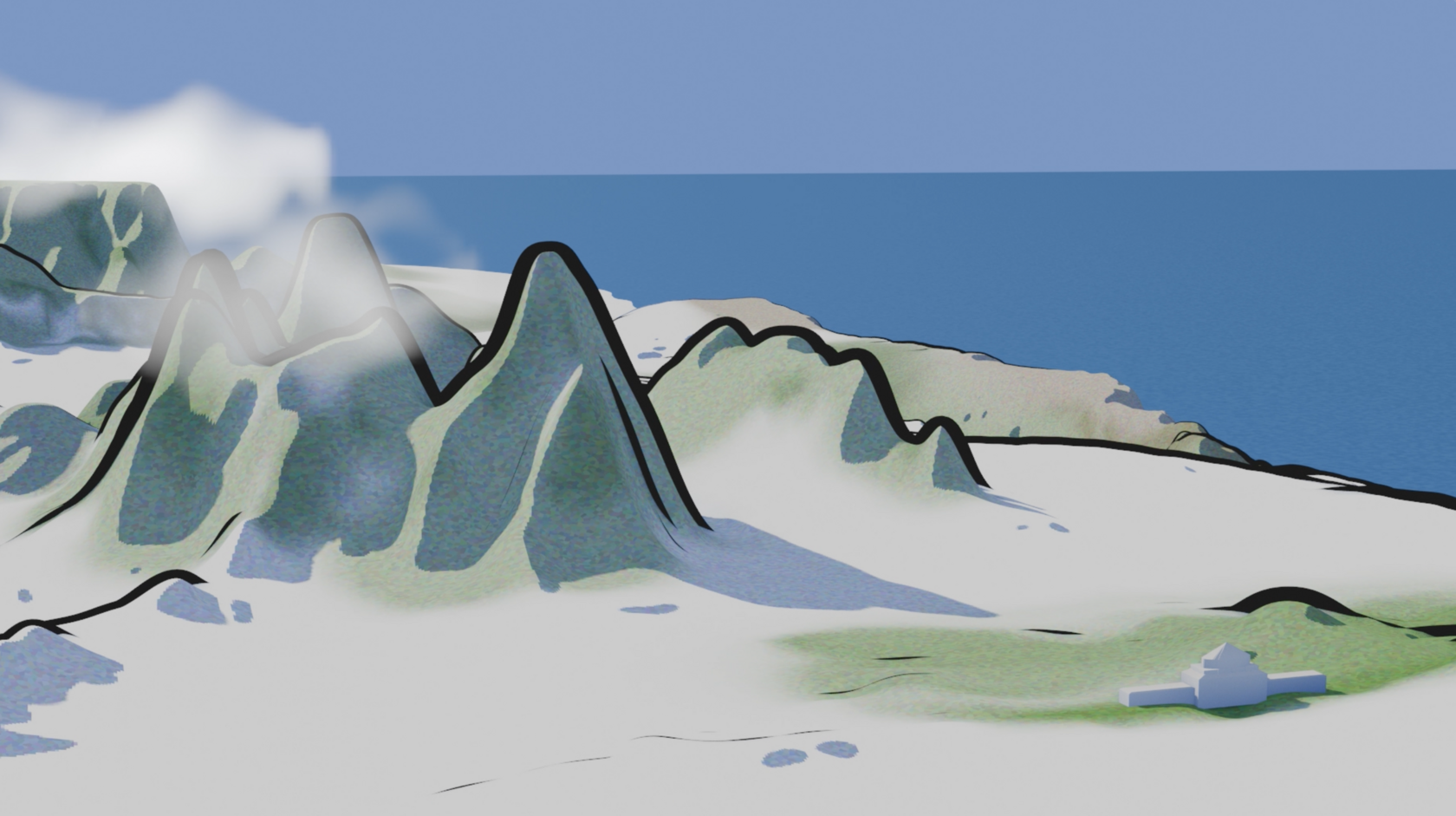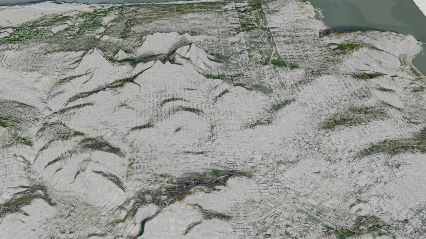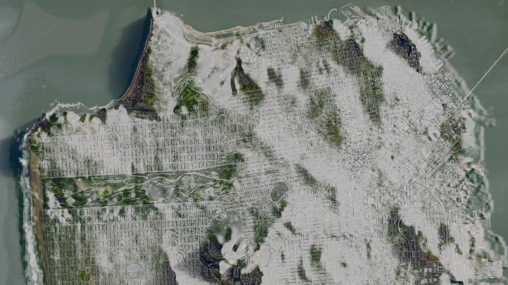
Maps are often designed to communicate with precision, but they rarely inspire the same emotional connection as a painting. This project explores what happens when real geospatial data is transformed into an illustrated landscape, blending geographic accuracy with a hand-painted aesthetic. Using terrain data processed in QGIS and the Gaku Deep Paint plugin in Blender, I recreated San Francisco as a watercolor-inspired 3D environment featuring recognizable landmarks, including the Golden Gate Bridge, the Transamerica Pyramid, and the Conservatory of Flowers. The goal wasn't to improve navigational accuracy—it was to experiment with how artistic rendering could make familiar places feel fresh, inviting, and worth exploring. The project also became an educational resource, culminating in a YouTube tutorial that walks through the complete workflow so others can create expressive 3D landscapes from real-world geospatial data. Tools: Blender, Gaku Deep Paint, QGIS Skills demonstrated: Information Design, 3D Visualization, Spatial Storytelling, Geospatial Workflows, Visual Communication, Creative Experimentation
Takeaway:This project explores how expressive visual design can make data-rich experiences more engaging, showing that accuracy and creativity don't have to exist in opposition.
Suitability Immersion
$
$
Add here some interesting details about the product. Help people realized that this product is exactly what they need. It could be practical and useful information as well: size of the product, material that it is made of or care instructions.
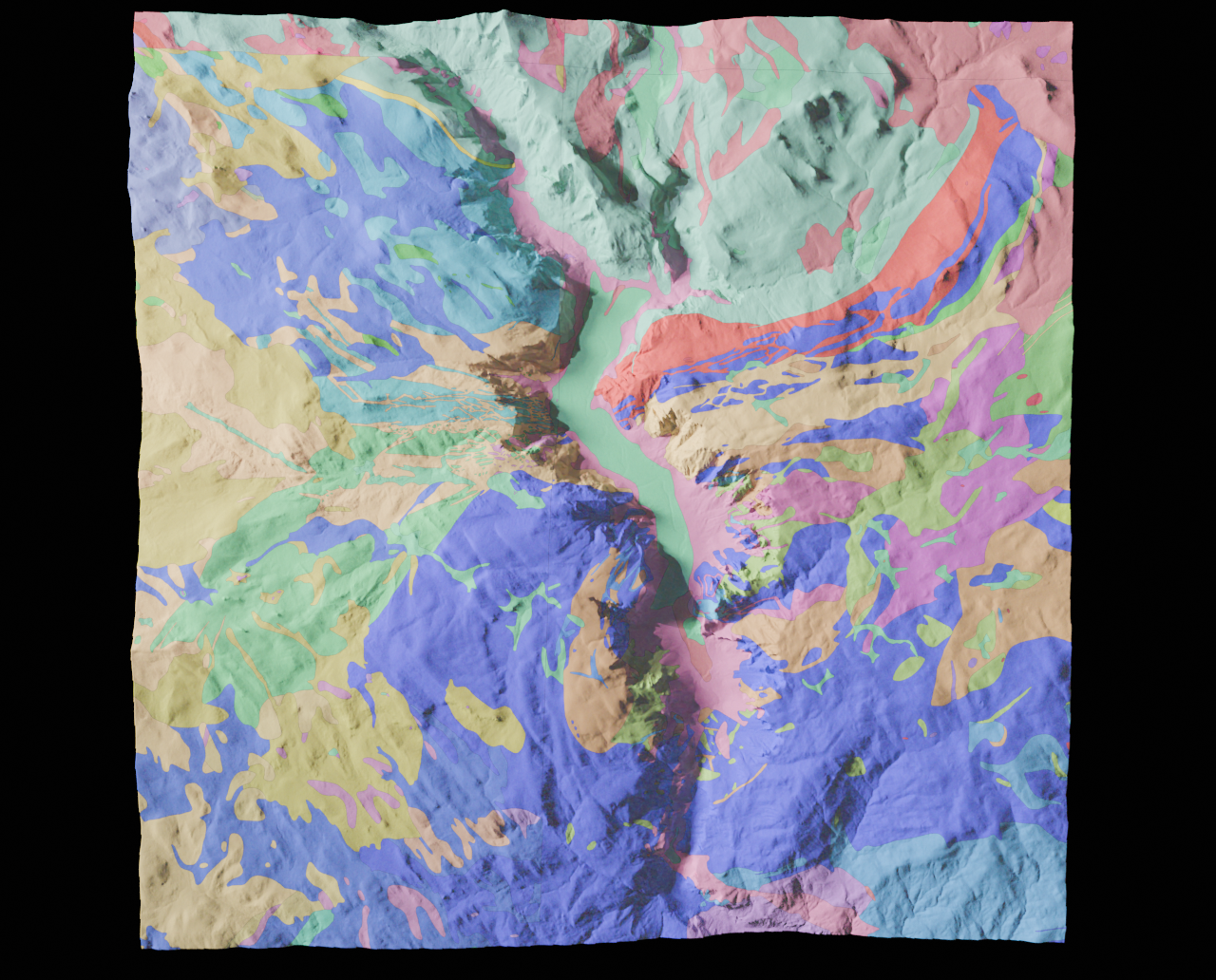
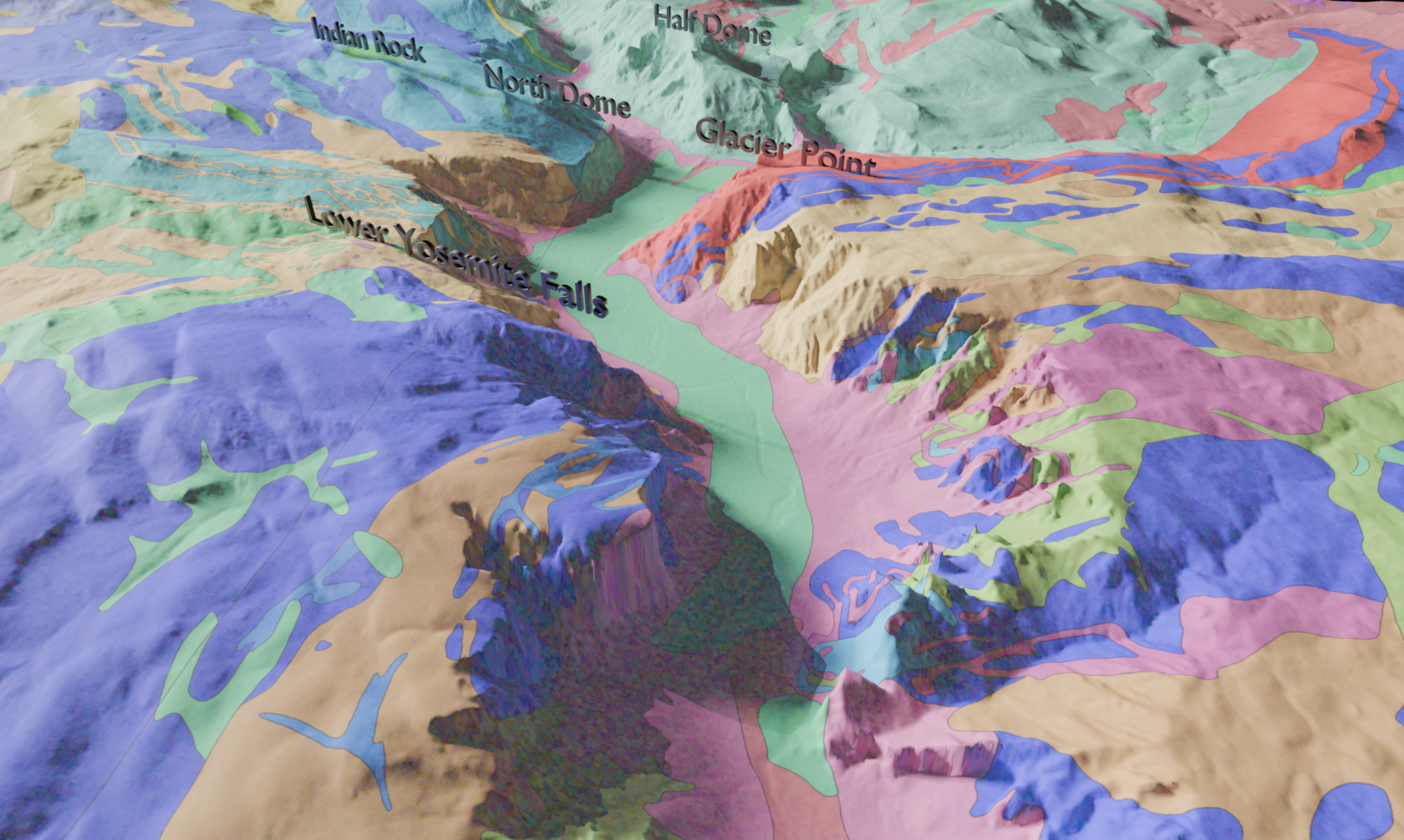
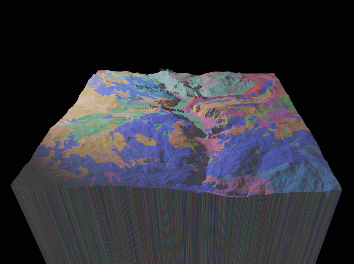
Beneath Yosemite: One of Yosemite Valley's defining features is its dramatic granite landscape—but the geology that shaped it is often experienced as a flat, symbol-heavy map. This project transforms a traditional geologic map into a cinematic 3D experience that reveals what's beneath the surface while preserving a strong sense of place. Rather than asking viewers to mentally translate colors and legends into geography, I explored how smooth transitions between a recognizable landscape and its underlying geologic layers could reduce cognitive load and encourage exploration. By allowing the viewer to continuously zoom between the familiar terrain and subsurface data, the visualization maintains orientation instead of forcing users to constantly reestablish context. Built in Blender using terrain data processed in QGIS, the project also incorporates procedural, slope-aware texturing generated through Python to create natural material transitions across the landscape. Tools: Blender, QGIS, Python Tags: Information Design, Spatial Storytelling, Data Visualization, Procedural Workflows, GIS, 3D Visualization, Technical Problem Solving Takeaway:This project explores how thoughtful transitions between data views can preserve user orientation and reduce cognitive load—an interaction principle that's equally valuable in GIS products, dashboards, and data-rich interfaces.
Choose Your Basemap
$
$
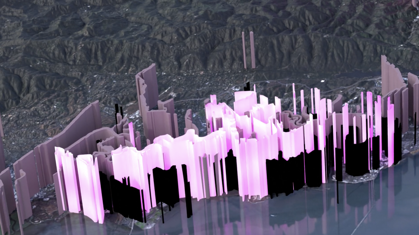
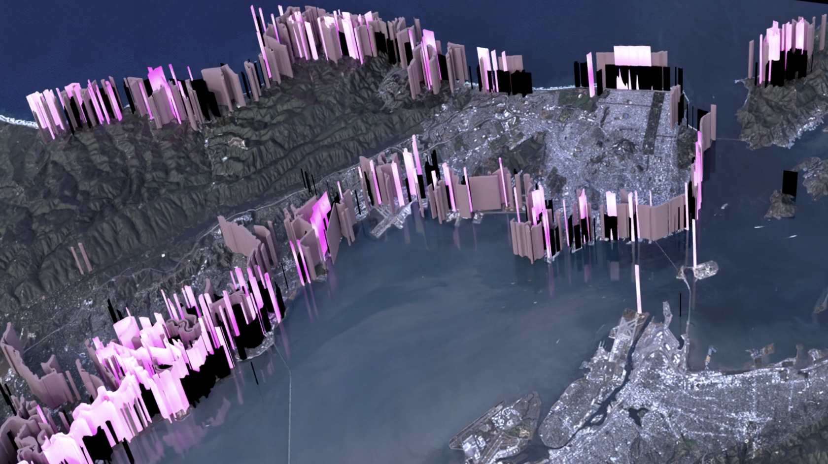
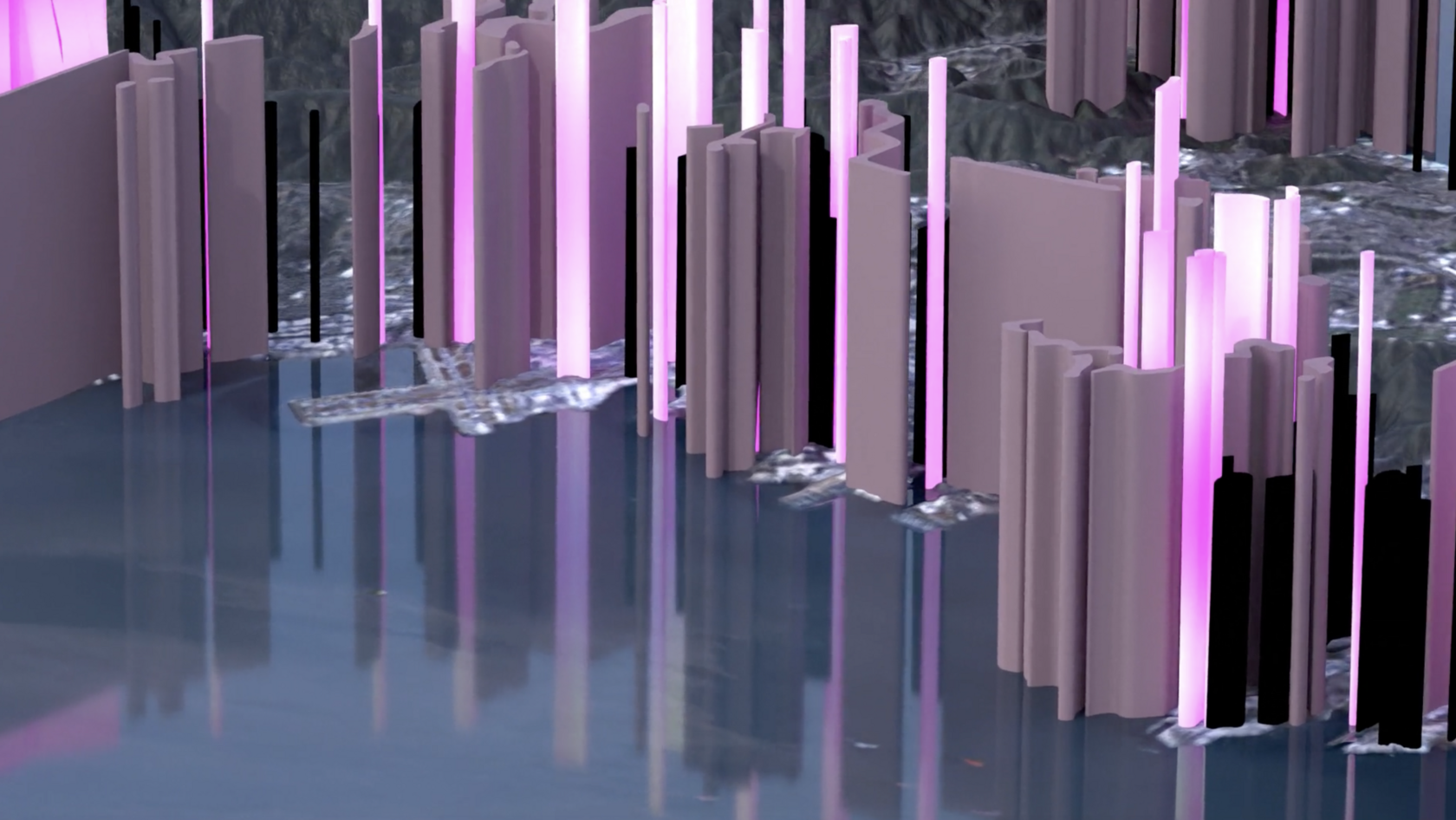
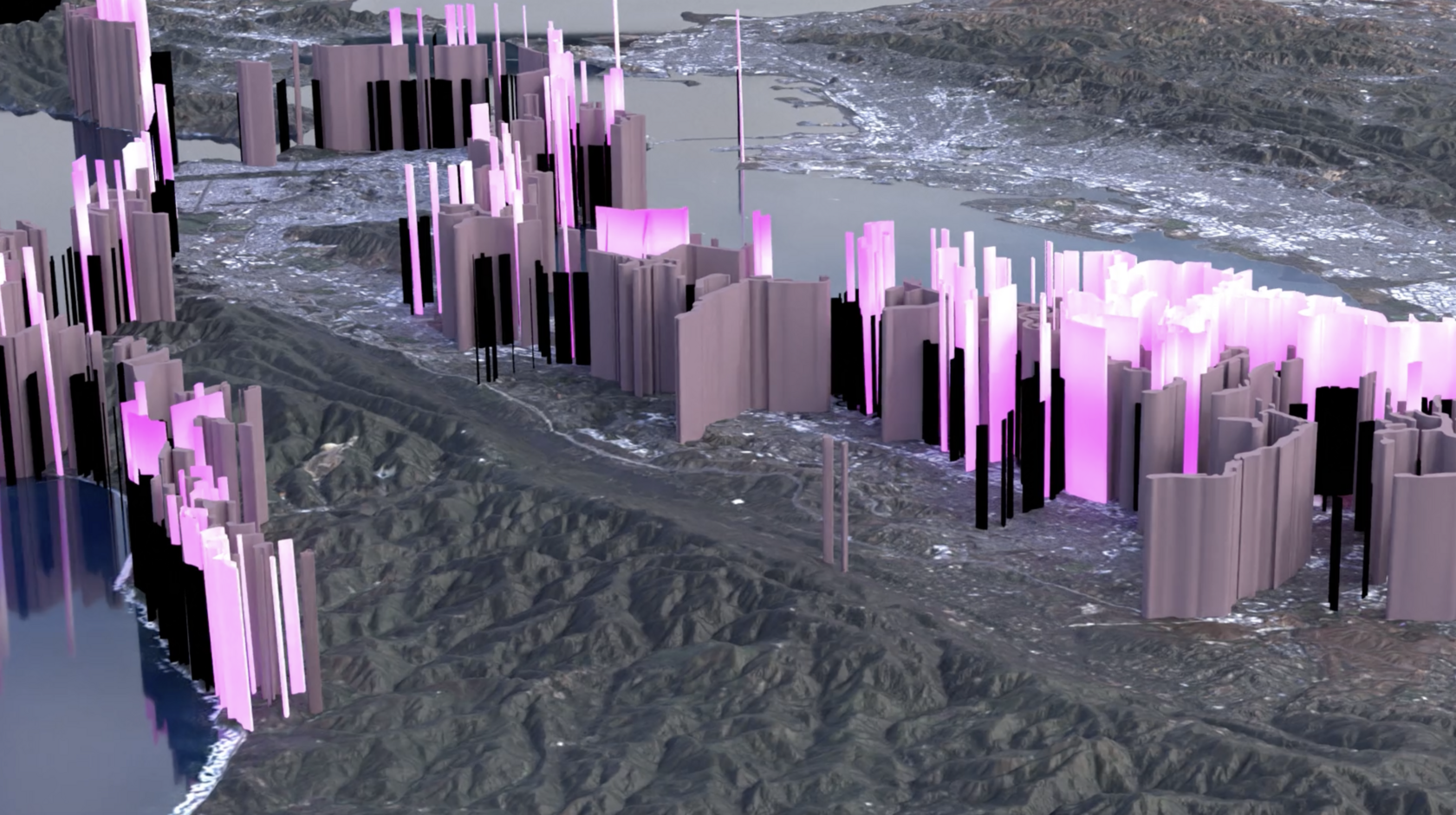
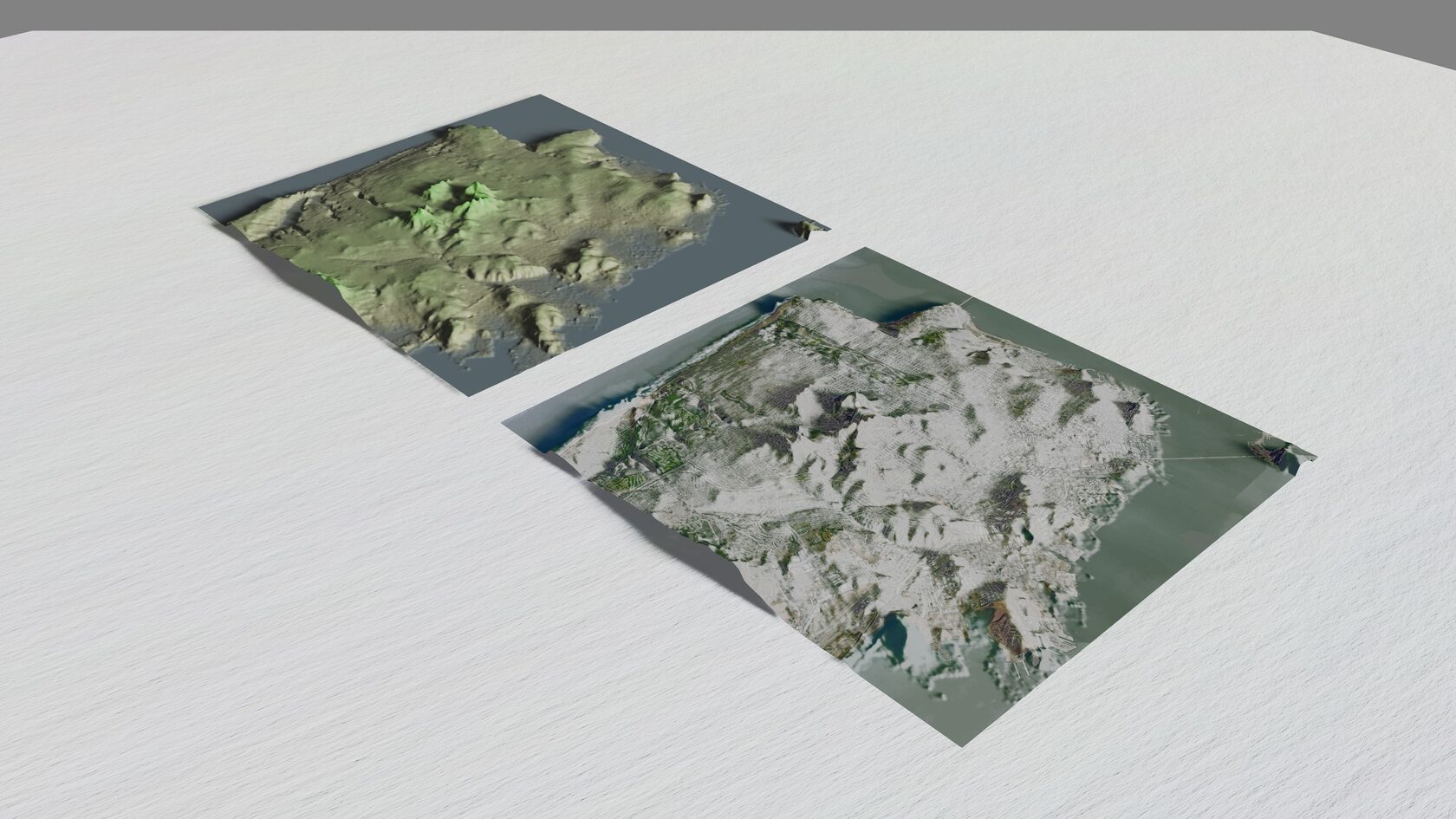
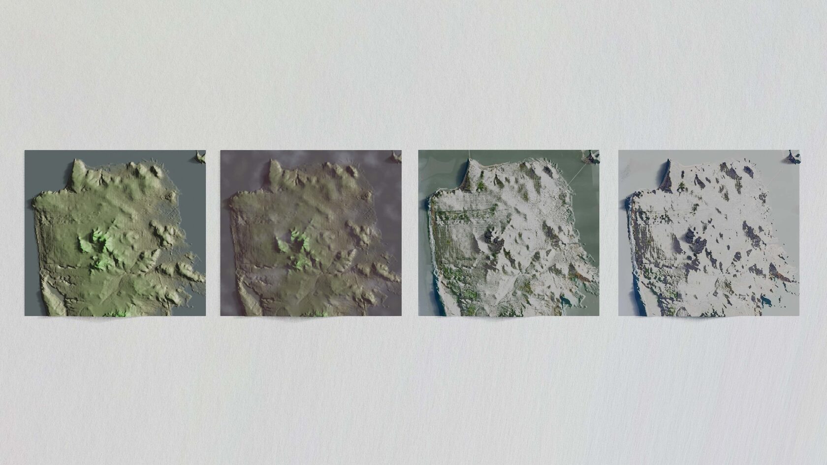
Choose Your Basemap: Digital maps are typically designed as flat utilities, optimized for navigation rather than visual exploration. This series reimagines familiar Google Maps basemap styles as immersive 3D landscapes, transforming everyday interface elements into tactile, architectural compositions.
The project explores how recognizable mapping conventions can be translated into three-dimensional space without losing their visual identity. By reconstructing multiple basemap styles in Blender using geographic data from Google Earth and QGIS, each visualization highlights the unique design language behind maps that millions of people interact with every day, while encouraging viewers to appreciate them from an entirely new perspective.
What began as a study of cartographic styles became an exploration of how utility-driven interfaces can also evoke curiosity and delight.
Tools: Blender, Google Earth, QGIS Tags: Information Design, Visual Systems, 3D Modeling, Cartographic Design, Geospatial Visualization, Creative Direction
Takeaway:This project examines how familiar digital interfaces can be reimagined without sacrificing recognition—an approach that translates directly to designing engaging, intuitive product experiences.
" . . . I'd recommend Elizabeth as a designer and project consultant for anyone looking to solve a complicated design problem."
John Lamppa
CEO & Co-Founder, Real Green Foods
". . . I received not only my graphic work, but also a document describing her story of its creation. I would highly recommend Elizabeth to anyone looking for professional and passionate work. . ."
Gretchen Gerlach
Founder of Naetura Cara
"...Elizabeth’s self-motivation carries through in her work, and her work ethic inspires her team members to function more cohesively as well. She has created many of the marketing and educational materials that my office still uses on campus today, from infographics to print on apparel and accessories to miniature mockups and life-size dioramas."
Richard Hsu
Sustainability Coordinator | USF
"Elizabeth consulted me at the beginning of my business launch. I had very specific demands for the design and Elizabeth impressively transitioned my vision to reality. . ."
Adam Turrey
Green Building Consultant
"Beyond managing our marketing material, she redesigned the entire UI of our website. . . I’ve loved my experience working with Elizabeth, and I know that anyone looking to hire or work with her will, too."